| San Bruno Mountain, June 2005 | 6/26 | San Andreas Dam Panorama (450ft) | |
|
Previous | Next |
|
|
|
|
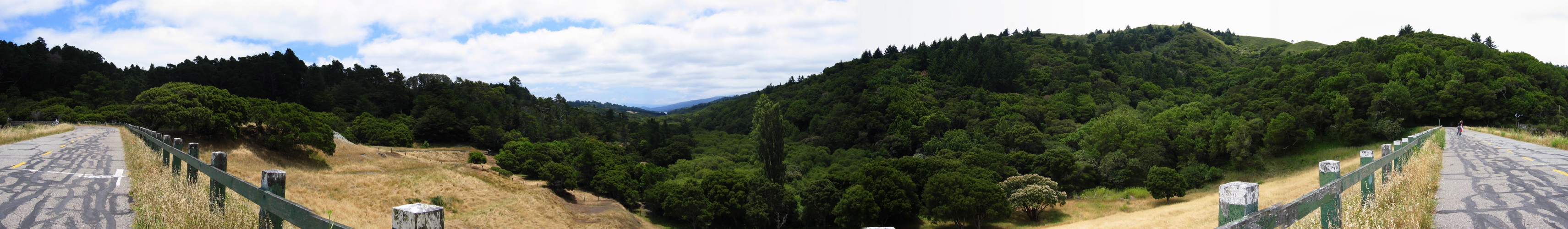
2005/06/25 12:22:10 At the left we see the low ridge (Buri Buri) upon which I-280 lies, behind the trees. Moving to the right we see the valley along which the Sawyer Camp Trail runs. The distance we can see a corner of Lower Crystal Springs Reservoir. Kings Mountain is the distant ridge . The ridge on the right is Sawyer Ridge. |
File size: 5071854 bytes |
San Andreas Dam Panorama (450ft)
| Load full-size original in new window. |
| Previous | Next |