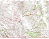
Quien Sabe Detail Map
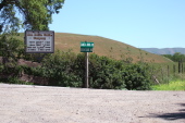
2009/04/19 12:00:00 |
|
Intersection of Santa Anita and Quien Sabe Roads.
2009/04/19 12:17:28 |
|
Wildflowers in Santa Ana Valley.
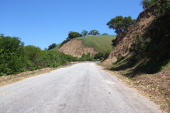
2009/04/19 12:24:00 |
|
Climbing Quien Sabe Rd., about 2/3 of the way up the grade.
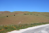
2009/04/19 12:31:05 |
|
Cattle on hillside below Cibo Peak.
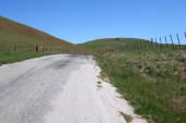
2009/04/19 12:37:19 |
|
Quien Sabe Rd., top of the grade.
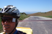
2009/04/19 12:37:42 |
|
Bill at top of Quien Sabe Rd.
2009/04/19 12:37:57 |
|
View down into Santa Anita Valley from top of Quien Sabe Rd.
2009/04/19 12:39:01 |
|