Go back to blog.
Mt. Hamilton Clockwise, April 3, 2011
<<
Index page
1
2
3
4
5
6
7
8
>>
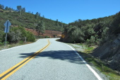
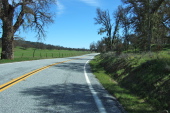
Nearing the southernmost summit on Mines Rd.
2011/04/3 14:20:29
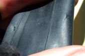
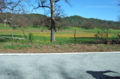
Pinch flat!
2011/04/3 14:28:33
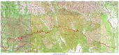
Mt. Hamilton Detail Map
2011/04/3 15:00:00
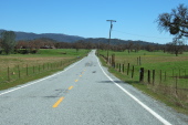
Descending through San Antonio Valley
2011/04/3 15:25:37
Upper San Antonio Valley
2011/04/3 15:34:24
More color in Upper San Antonio Valley
2011/04/3 15:35:28
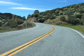
Climbing the steep section to China Grade Summit.
2011/04/3 15:43:29
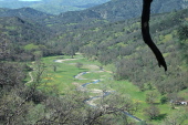
The meandering course of Arroyo Bayo.
2011/04/3 16:07:20
Click on a picture to enlarge it.
Generated by
Galerie
2011/April/4