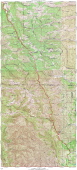
Mines Road South Detail Map
2011/04/3 13:40:00 |
|
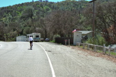
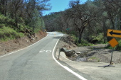
Site of Fourteenmile House
2011/04/3 13:41:49 |
|
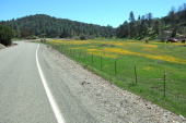
One of the largest splashes of wildflower color seen in the big meadow along Arroyo Mocho
2011/04/3 13:52:50 |
|
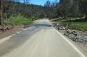
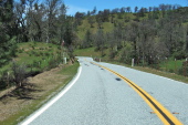
Arroyo Mocho crosses Mines Rd.
2011/04/3 13:58:05 |
|
Crossing back into Santa Clara County
2011/04/3 14:02:00 |
|
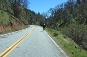
Lone cyclist heading up Mines Rd.
2011/04/3 14:09:03 |
|
Looking back down Mines Rd. near Eylar Summit
2011/04/3 14:11:05 |
|
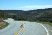
View of the drier terrain of the Colorado Creek watershed south of Eylar Summit
2011/04/3 14:13:28 |
|