|
 |
 |
 |
 |
 |
|
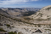
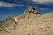
View down the west side of Conness's south ridge is quite different.
2012/09/20 11:18:43 |
|
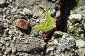
Interesting green and red lichens found on some rocks near The Notch.
2012/09/20 11:29:35 |
|
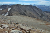
Stella starts up the plateau between Mt. Conness and White Mountain (in the background).
2012/09/20 11:29:50 |
|
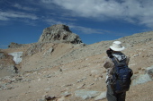
View back toward The Notch.
2012/09/20 11:39:15 |
|
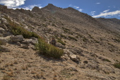
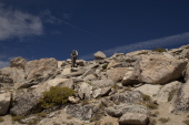
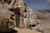
Bill leads the way up the Conness plateau.
2012/09/20 11:43:55 |
|
|
|
 |
 |
 |
 |
 |
|
Frank and Stella below are climbing the Conness Plateau.
2012/09/20 12:00:58 |
|
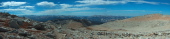
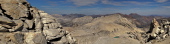
Panorama to the south of Mt. Conness (2)
2012/09/20 12:14:00 |
|
Stella pushes on up the plateau to the summit.
2012/09/20 12:14:25 |
|
Frank takes his photo of the summit and arête.
2012/09/20 12:37:05 |
|
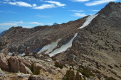
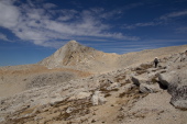
The snaking summit arête comes into view.
2012/09/20 12:37:11 |
|
|
|
 |
 |
 |
 |
 |
|
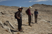
Bill and Charles Povtrovsky (who just descended from the summit) discuss routes while Stella begins to wonder what she got herself into.
2012/09/20 12:47:27 |
|
Bill peers into the abyss (while taking care not to slip).
2012/09/20 12:50:00 |
|
North Peak (12242ft) and the small glacial tarn can be seen down the northeast side of the ridge.
2012/09/20 12:50:46 |
|
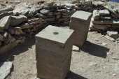
Two concrete pillars, one with a USGS marker.
2012/09/20 12:56:06 |
|
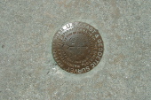
USGS marker, up close
2012/09/20 12:56:20 |
|
|


