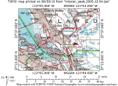
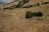
Overview Map
2010/08/29 09:00:00 |
|
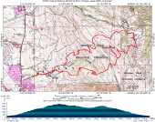
Detail Map
2010/08/29 09:01:00 |
|
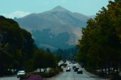
Mission Peak seen on edge from Mission Blvd., Fremont, CA
2010/08/29 11:00:00 |
|
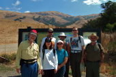
The group assembled at the trailhead
2010/08/29 11:29:27 |
|
David trudges up the Peak Meadow Trail while Ron and Marty are lost in conversation.
2010/08/29 12:12:08 |
|
Bill marches up the trail.
2010/08/29 12:13:51 |
|
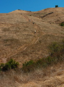
View up the steepest part of the climb.
2010/08/29 12:26:00 |
|
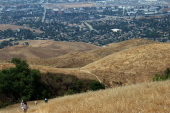
Marching up the steep section of Horse Heaven Trail.
2010/08/29 12:26:57 |
|