| Loma Prieta, November 2004 | 20/42 | Sierra Azul Panorama (3760ft) | |
|
Previous | Next |
|
|
|
|
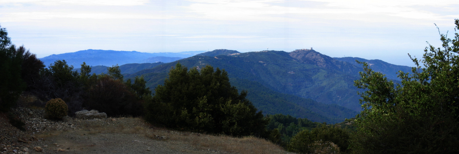
2005/11/24 12:37:00 This image was taken just below the northeast summit area of Loma Prieta. At the far left we can see Castle Rock Ridge (3210ft). To the right barely in view is Kings Mountain (2380ft). To the right and closer is Mt. Thayer (3480ft), the south bay weather radar dome on the south ridge of Mt. Umunhum (3450ft), and the Mt. Umunhum summit (3490ft). |
File size: 1936204 bytes |
Sierra Azul Panorama (3760ft)
| Load full-size original in new window. |
| Previous | Next |