|
 |
 |
 |
 |
 |
|
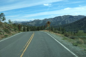
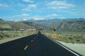
Starting down a steep section of the east side
2012/09/16 14:33:39 |
|
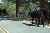
Cattle loose on the road
2012/09/16 14:41:43 |
|
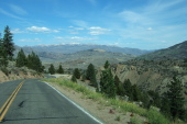
Approaching the first hairpin above Leavitt Meadows
2012/09/16 14:43:22 |
|
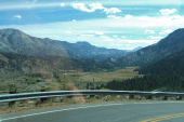
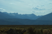
Leavitt Meadows (7000ft) and Tower Peak (11755ft) in the distance.
2012/09/16 14:43:43 |
|
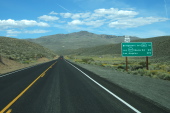
Approaching the USMC Mountain Warfare Training Center at Pickel Meadow
2012/09/16 14:49:43 |
|
|
|
 |
 |
 |
 |
 |
|
Heading south on US-395
2012/09/16 14:57:46 |
|
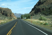
Passing through Devil's Gate
2012/09/16 15:01:21 |
|
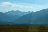
Sawtooth Ridge from Bridgeport Valley, west of Bridgeport
2012/09/16 15:11:36 |
|
Sawtooth Ridge from Bridgeport Valley, south of Bridgeport
2012/09/16 15:17:06 |
|
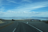
Mono Lake from US-395 Vista Point just south of Conway Summit
2012/09/16 15:32:28 |
|
|
|
 |
 |
 |
|
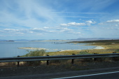
Mono Lake from US-395
2012/09/16 15:42:49 |
|
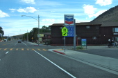
Passing through Lee Vining
2012/09/16 15:44:59 |
|
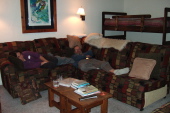
Stella and Frank crash on the sofa after dinner.
2012/09/16 21:54:38 |
|
|


