|
 |
 |
 |
 |
|
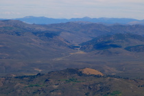
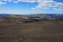
Devil's Gate Summit on US-395 from Sonora Peak
2013/09/10 13:06:05 |
|
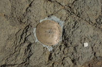
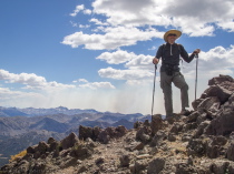
Summit marker on Sonora Peak
2013/09/10 13:09:33 |
|
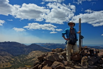
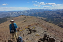
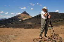
Frank at the summit of Sonora Peak (11469ft)
2013/09/10 13:09:50 |
|
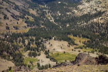
St. Mary's Pass trail and the trailhead from the summit
2013/09/10 13:10:06 |
|
|
|
 |
 |
 |
 |
|
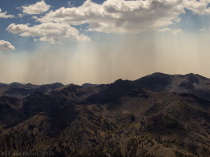
Clouds, Smoke, and Mountains
2013/09/10 13:10:09 |
|
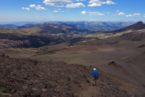
Frank gets ready to descend.
2013/09/10 13:11:00 |
|
Bill gets ready to descend.
2013/09/10 13:12:24 |
|
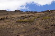
Frank descends the steep, loose trail.
2013/09/10 13:17:28 |
|
|
|
 |
 |
 |
 |
|
Frank descends the steeper, lower slope of Sonora Peak.
2013/09/10 13:31:28 |
|
Bill does a slip-slide down the loose use trail.
2013/09/10 13:35:07 |
|
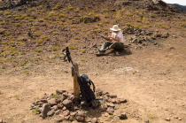
Bill stops at St. Marys Pass to empty the rocks and sand out of his shoe.
2013/09/10 13:56:16 |
|
Bill at St. Mary's Pass
2013/09/10 13:57:32 |
|
|
|
 |
 |
|
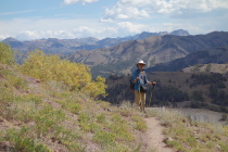
Frank waits for me to snap a photo on the lower part of the trail.
2013/09/10 14:08:19 |
|
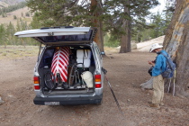
Stopping the GPS track at the end of the hike
2013/09/10 14:33:06 |
|
|


