Go back to blog.
| Mt. Hamilton Loop clockwise, April 2006
<<
Page
1
2
3
4
5
6
7
8
>>
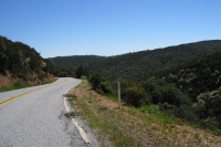
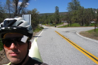
Descending into the Colorado Creek watershed. (2880ft)
2006/04/29 14:06:36
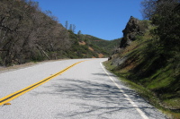
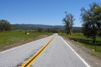
Climbing Mines Rd. out of Blackbird Valley (2680ft)
2006/04/29 14:11:31
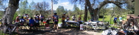
DMD cyclists at their lunch stop at The Junction (2190ft)
2006/04/29 14:26:00
Copernicus Peak (4360ft) from The Junction (2190ft)
2006/04/29 14:58:32
Leaving The Junction. (2190ft)
2006/04/29 15:00:12
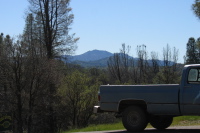
San Antonio Valley (2170ft)
2006/04/29 15:02:20
Click on a picture to enlarge it.
<<
Page
1
2
3
4
5
6
7
8
>>
2006/May/21
Generated by
Galerie