 <- <- |
 |
-> |
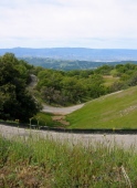
Looking down Mt. Hamilton Rd., last climb (2)
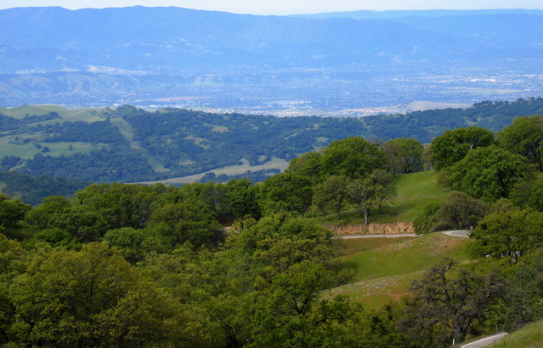
View at full zoom. Mt. Hamilton Rd. (foreground), Masters Ridge (midground), San Jose and the Santa Cruz Mountains (background). The old radar facility is visible on Mt. Umunhum (left) and the highpoint close by on the right is Mt. Thayer. Ben Lomond Ridge is visible behind the main ridge of the Santa Cruz Mountains.
2005/04/30 10:20:39
Metering Mode: matrix
Exposure time: 0.0025 s (1/400)
Aperture: f/4.9
Focal length: 22.2mm (35mm equivalent: 112mm)
Flash: No (auto)
File size: 1586899 bytes