Go back to list of albums
| An Attempt on Mt. Conness, September 2005
<<
Page 1
2
3
>>
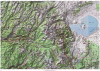
Overview Map
2005/09/15 08:00:00
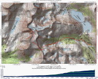
Complete Hike Map
2005/09/15 08:01:00
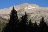
Southern Ridge of Mt. Conness from trailhead (9750ft)
2005/09/15 08:03:00
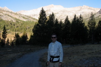
Bill near trailhead, Mt. Conness (12590ft) in background (9750ft)
2005/09/15 08:04:11
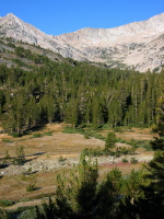
View up the valley to the Sierra crest (9720ft)
2005/09/15 08:09:23
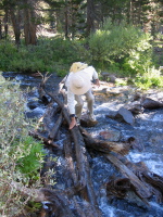
Crossing Lee Vining Creek (9700ft)
2005/09/15 08:19:50
Click on a picture to enlarge it.
<<
Page 1
2
3
>>
2005/October/8
Generated by
Galerie