| First Half of Mr. Bill's, June 2005 | 37/56 | El Sereno Open Space, Trail from Bohlman to Montevina (2530ft) | |
|
Previous | Next |
|
|
|
|
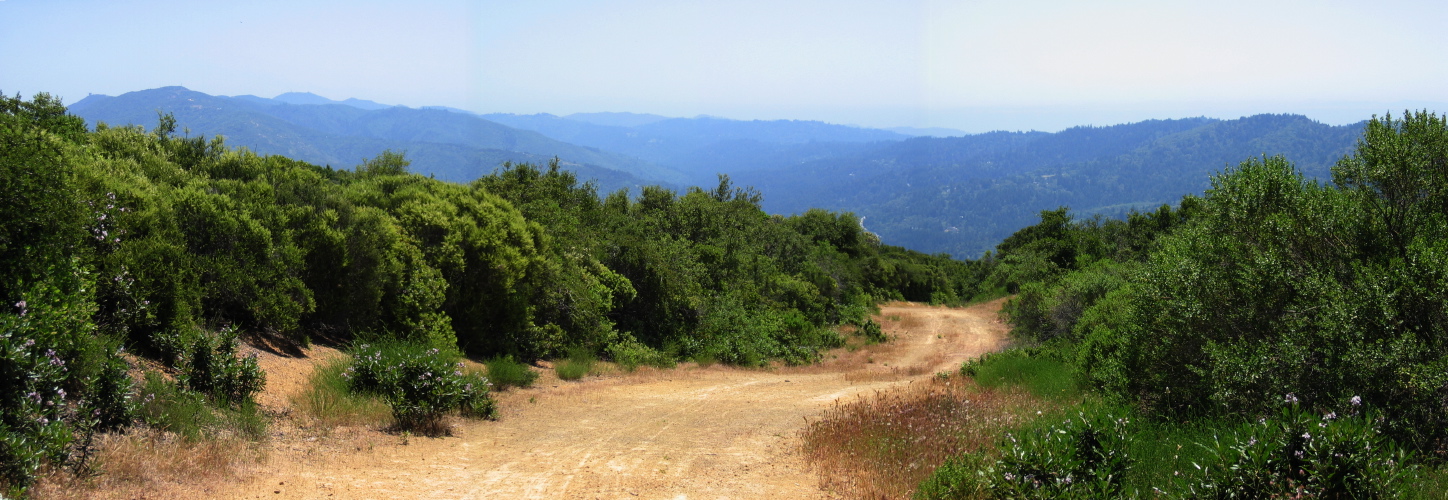
2005/06/4 13:07:21 (l to r): Mt. Umunhum (3486ft) with its distinctive "box" on top can be seen. To the right nearby is Mt. Thayer (3483ft), and the flat-topped Loma Prieta (3791ft) can be seen behind. The deep cleft in the mountains in the center of the image is Los Gatos Creek drainage and the San Andreas Rift Zone. The ridge to the right is Skyline Ridge. |
File size: 3716098 bytes |
El Sereno Open Space, Trail from Bohlman to Montevina (2530ft)
| Load full-size original in new window. |
| Previous | Next |