|
 |
 |
 |
 |
 |
|
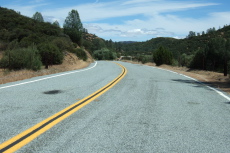
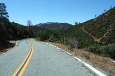
Heading up Arroyo Bayo toward China Grade
2013/05/26 14:01:35 |
|
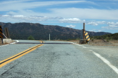
Summit of China Grade, view to the east
2013/05/26 14:07:51 |
|
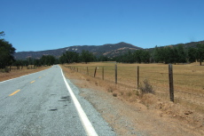
No flowers in San Antonio Valley this year
2013/05/26 14:17:30 |
|
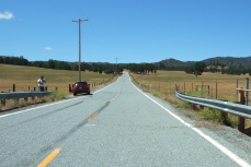
Getting my photo taken a mile south of The Junction
2013/05/26 14:26:12 |
|
Eylar Mountain (4089ft) from Blackbird Canyon
2013/05/26 15:34:35 |
|
|
|
 |
 |
 |
 |
 |
|
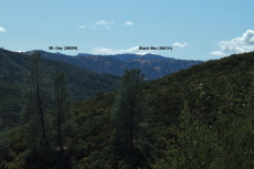
Mt. Day (3869ft) and Black Mountain (3951ft) from the east
2013/05/26 15:42:27 |
|
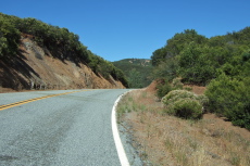
Crossing Eylar summit (2900ft)
2013/05/26 15:44:32 |
|
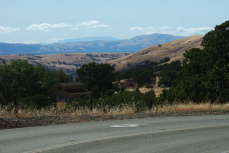
Mt. Tamalpais in the distance
2013/05/26 16:28:56 |
|
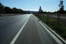
Nice, clean, wide bike lane on Stanley Blvd.
2013/05/26 17:14:28 |
|
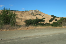
Flag Hill (1360ft) in Sunol Regional Park
2013/05/26 18:10:14 |
|
|
|
 |
 |
 |
 |
|
Lower Calaveras Reservoir in the evening
2013/05/26 18:25:00 |
|
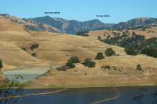
Black Mountain (3951ft) and Mt. Day (3869ft) from Calaveras Road
2013/05/26 18:28:08 |
|
Upper Calaveras Reservoir in the evening
2013/05/26 18:48:00 |
|
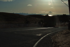
Sunset over San Francisco Bay from Calaveras and Felter Roads
2013/05/26 19:00:05 |
|
|