Go back to blog.
Montara Mountain, July 2006
<<
Page 1
2
3
4
5
6
7
8
>>
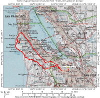
Overview Map
2006/07/9 09:00:00
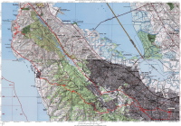
Complete Map
2006/07/9 09:01:00
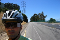
Skyline Blvd. north of Hayne Rd. (710ft)
2006/07/9 11:05:08
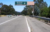
Exiting I-280 at Millbrae Ave. (610ft)
2006/07/9 11:14:44
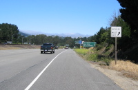
Exiting I-280 at Skyline Blvd. (510ft)
2006/07/9 11:19:12
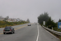
Up into the fog on Skyline Blvd. near Sharp Park Rd. (580ft)
2006/07/9 11:32:42
Click on a picture to enlarge it.
Generated by
Galerie
2006/July/16