|
 |
 |
 |
 |
|
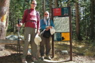
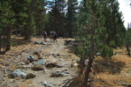
Bill and Frank at the start of the hike
2012/09/22 10:37:23 |
|
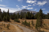
Mammoth Peak, our goal for the day
2012/09/22 10:42:10 |
|
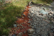
Iron oxide seep near Dana Fork of Tuolumne River
2012/09/22 10:49:49 |
|
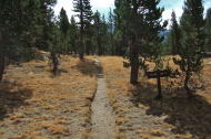
Mono Pass Trail and branch to Spillway Lake
2012/09/22 11:32:11 |
|
|
|
 |
 |
 |
 |
|
In spite of an overflowing trailhead parking area, these are the only other hikers we saw on the trail all day.
2012/09/22 11:32:21 |
|
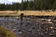
Bill crosses Parker Pass Creek on tippy stones.
2012/09/22 11:36:34 |
|
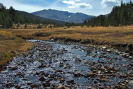
Parker Pass Creek flows from Spillway Lake below Kuna Peak (13002ft) in the distance
2012/09/22 11:37:54 |
|
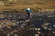
Frank makes his way across Parker Pass Creek.
2012/09/22 11:39:38 |
|
|
|
 |
 |
 |
 |
|
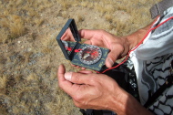
Frank gets his compass out, in case my GPS fails.
2012/09/22 11:48:22 |
|
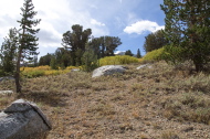
Typical view on our cross-country route
2012/09/22 12:03:10 |
|
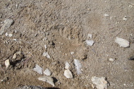
Bear paw print?
2012/09/22 12:16:18 |
|
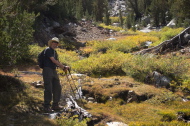
Our cross-country approach took us up this stream flowing from Kuna Lake.
2012/09/22 12:18:21 |
|
|


