| Santa Cruz via Hecker Pass, July 2005 | 23/52 | Watsonville Panorama (1010ft) | |
|
Previous | Next |
|
|
|
|
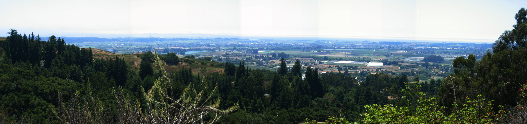
2005/07/9 13:37:00 Starting at the left in the foreground we see a spur of the main ridge. CA152 descends along this spur. Beyond the spur we see the Pajaro Valley and the low hills immediately to the south. The smokestack in the distance is the power plant at Moss Landing. Beyond the smokestack one can just discern the long beach between Marina and Monterey. |
File size: 4000953 bytes |
Watsonville Panorama (1010ft)
| Load full-size original in new window. |
| Previous | Next |