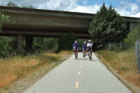
Crossing under US101 for the last time
2011/04/24 13:10:10 |
|
Morgan Hill and Gilroy Detail Map
2011/04/24 14:00:00 |
|
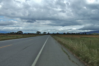
Flying south on Santa Teresa Blvd. near San Martin
2011/04/24 14:00:14 |
|
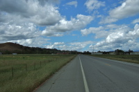
Cumulus clouds follow me south.
2011/04/24 14:00:21 |
|
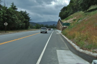
Heading toward wet weather.
2011/04/24 14:17:17 |
|
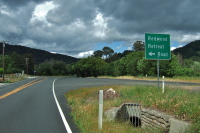
Heading north on Watsonville Rd.
2011/04/24 14:24:56 |
|
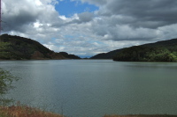
Clouds over a full Uvas Reservoir
2011/04/24 14:51:43 |
|
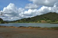
Clouds over a full Uvas Reservoir (2)
2011/04/24 14:52:18 |
|