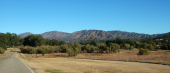
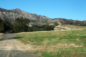
The Oat Hills.
2009/11/1 07:50:03 |
|
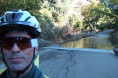
Second ford across the San Antonio River.
2009/11/1 08:00:09 |
|
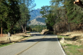
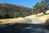
Del Venturi Rd. continues its rolling climb to the northwest.
2009/11/1 08:12:51 |
|
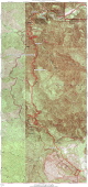
Indians Rd. map.
2009/11/1 08:22:00 |
|
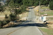
Fort Hunter-Liggett northwest boundary.
2009/11/1 08:23:48 |
|
Land uplifted exposing the sandstone bedrock.
2009/11/1 08:41:23 |
|
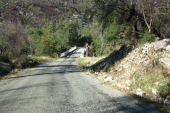
Crossing the last bridge for a long while near Indian Ranch.
2009/11/1 08:44:41 |
|
Entering North Fork canyon through the center of the region of uplifted sandstone.
2009/11/1 08:45:10 |
|